

Welcoming Iceye
By Jyri Engestrom, November 12, 2015
Floods. Forest fires. Arctic ice movements. Search and rescue operations. All have benefited enormously from the ability to monitor movements, progress and disasters using microsatellites fitted with optical cameras. However, 76% of the Earth is not available to optical camera imaging at any given time, because it is either shrouded by clouds or without daylight (or, in the case of forest fires, shrouded by smoke). This is where synthetic-aperture radar (SAR) comes in. SAR imaging satellites work through cloud cover, day or night, to provide critical imaging in the toughest conditions. There are currently a handful of military and governmental SAR satellites in orbit, which cost upwards of $0.5 billion a piece. If a civilian user wants to get a radar picture, the waiting time is anywhere from three days up.
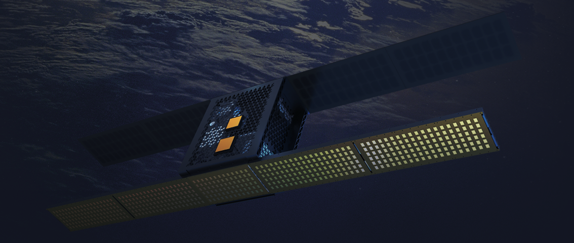
Iceye, the newest addition to the True Ventures portfolio, thinks they can do better. Having announced their True-led Series A funding this morning, Iceye aims to launch a swarm of small satellites with synthetic-aperture radar to image the Earth at an order-of-magnitude lower cost than currently available SAR solutions, while delivering customers fresh SAR images of the selected location in a matter of hours.
The use cases for Iceye are multitudinous—from farming, forestry and land-use monitoring to insurance and disaster response. There are floods happening around the world every day, constantly threatening the lives of thousands and the livelihoods of millions of people. Rapid response is critical. Iceye’s technology can see through rain clouds and provide near-real-time images for early warning and evacuation, as well as damage assessment. Similarly, SAR can see through the smoke of a forest fire, or aid in search-and-rescue operations regardless of weather conditions or time of day.
Iceye’s first customers are oil and shipping companies that need SAR to track the movement of ice in the Arctic around the clock in all weather conditions. Ultimately, the company wants to create an app and corresponding API that allows anyone to subscribe to a feed of SAR images of a particular area such as a farm, road, port or property anywhere in the world.
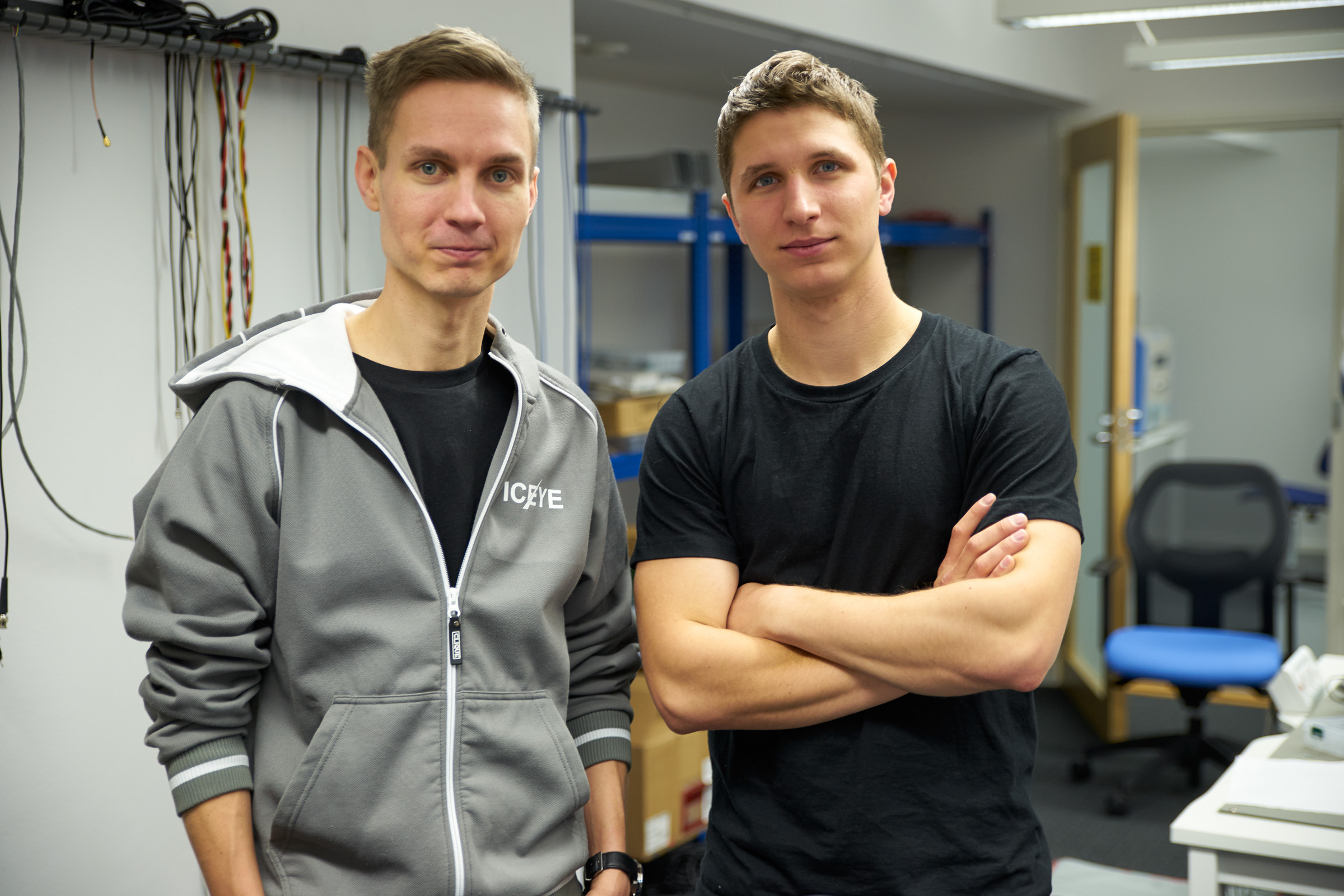
Co-founded by Rafal Modrzewski and Pekka Laurila, Iceye is a spinout from Aalto University Radio Science & Engineering department. Rafal described how radar imagery can help save lives:
“Just last week, we were in Greece to help the aid organizations. They are struggling to rescue the refugees crossing the bay to Lesvos in their overcrowded boats,” he said. “We brought ground-based radars to track the vessels, and they were game-changing to the rescue operation—but their range is limited. The order-to-delivery time for commercially available satellite imagery is around a week, which doesn’t help if the boats can capsize and disappear in minutes. That’s why we are working hard every day to get our own service up and running.”
Iceye plans to launch their first SAR microsatellite into space in 2017 and, further down the road, create a swarm of 6-8 satellites to take images all around the world. We believe this is a huge market opportunity with extensive applications, and we are very excited to be partnering with Rafal and Pekka.
Team Iceye: Welcome to True!